Flooded courtyard.
Hello people of Angola English. I’m Massomba Dominique and I work on GIS (Geographic Information System) projects at DW. This work includes storing and manipulating data that I collect in the field in order to prepare maps. I also give training on the basics of programs like ArcMap and GPS to various institutions and interns and make geo-reference maps.

Landslide.
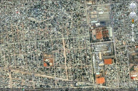
I’m here to talk about my work at DW, specifically about a project that I coordinated in 2006 in collaboration with the authorities of the municipalities of Cacuaco, Cazenga and Sambizanga in Luanda.

Inside a flooded home.
Our earlier research had some difficulties, because people did not want to cooperate due to the state of their flooded homes. But we were able to carry out the project when we tried again with help from the administration staff, by persistence and by giving residents a detailed explanation of the work we could accomplish (we had many hours of discussion with families).

Working with a family effected by the flooding.
During the project I helped some families with the arrangement of their furniture because of the flooding. The other help I gave was having conversations with families. I told them how to be more careful when choosing the location of the construction of their house, because of flooding and landslides.
For my part I would say that project ended well because I managed to collect data and in some neighborhoods the residents followed the advice. We were also campaigning for redevelopment of their neighborhoods. In some neighborhoods made many friendships with people who liked the work.
Massomba